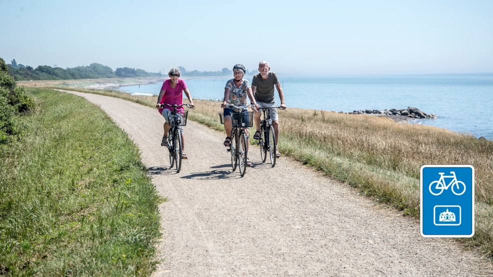
Cycle route: The Flat Lolland - 39 km
Culture and beautiful nature, where it's never an uphill battle. Southern Lolland's characteristic flat terrain is due to its contained areas. The entire southern Lolland coast is surrounded by a dyke, which was built after the large storm flood of 1872. The storm flood brought so much water into the old Rødby Fjord, that it was connected to Nakskov Fjord in the west, thereby making south-west Lolland an island. Rødby Fjord was later dammed and drained, with works concluding in 1966.
Starting at Kramnitze, the bicycle route heads west through Hummingen. The coastal area between the two towns is where the old Rødby Fjord once entered the land.
At Hummingen, the tour goes up onto the dyke, providing wonderful views of the contained land and Fehmarn Belt. After three kilometres, turn towards Dannemare - the largest town on the route. In Dannemare there are shopping and accommodation facilities and a lovely church.
Continue towards Tillitse, with its church and a small bicycle 'pitstop'. The halfway mark of the route is Vindeholme Forest and Vindeholme Castle. The bicycle route then returns through the forest back to Dannemare.
The route now heads towards Gloslunde and Hoby. Gloslunde has a small museum with exhibits about the 1872 storm flood.
In 1920, a chieftain's grave was found in Hoby, containing grave goods from the Early Roman Iron Age. The bicycle route then takes you back to Kramnitze.
Read more and see a map of the route in Naturlandet's folder here.
Follow the route in the Naturlandet Lolland-Falster app, then you'll get even more fun experiences along the way! You can find the route in the "Naturlandet's Adventure Routes" category in the app.
The bicycle route is one of Naturlandet's 19 local adventure routes, which are signposted with symbols - just follow the "castle". The route starts and ends in Kramnitze, see the map below.