Rebild Bakker and Gravlev Valley - Hiking
The Rebild Bakker hiking trail takes you through a varied landscape with hills, forest and springs.
On the trail around Gravlev Lake you pass several stunning springs and some impressive views over the lake and streams.
The Rebild Bakker hiking trail was inaugurated on the 2nd of June, 2018. The new hiking trail goes through Rebild National Park and Rold Forest. The trail has created new standards for hiking experiences in Denmark and has gained local and national recognition for its beauty.
You can download a map and description of the area.
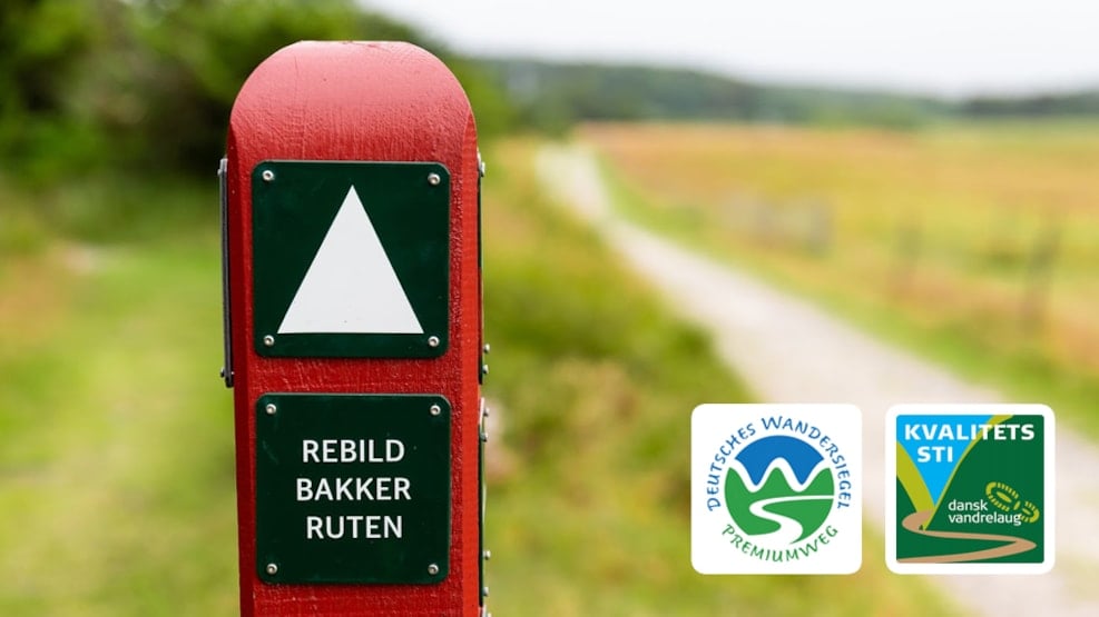
The 10,8 km trail is the first hiking trail in Denmark to achieve the quality certificate by the Danish Hiking association and the certificate of “Premium hiking trail” by the “Deutsches Wanderinstitut”. The German association has established Europe’s most recognized and strictest quality-system for hiking trails – only the very best hikes are granted the title of “Premium hiking trail”.
The trail was established by Naturstyrelsen Himmerland and Rold Skov Natur- og kulturcenter. It is marked with white arrows, taking you to some of the most beautiful sights in Rebild Bakker and Rold Forest.
During your hike, it is possible to take a break at the benches placed along the trail. While taking a break, enjoy the view and the sounds of nature.
Furthermore, there is a beautiful trail around Gravlev Sø, which passes several famous springs such as Ravnkilde, Gravlev Kilde and Egebæk kilde. If you take a small detour you can also see Lille Blåkilde, which is one of the springs in Northern Europe with the largest waterflow. The Gravlev Sø trail is marked with yellow dots.
The area is rich in wildlife, and you can be lucky to spot kingfishers, grey wagtail and white-throated around the lake or springs.
What can you see on the Rebild Bakker trail?
Many believe Ravnkilden to be the most beautiful of all the springs in Rebild. You can cross Ravnkilden by stepping on the several stepping stones, surrounded by the water of Ravnkilden. You can drink from the spring or fill your water bottle before you move on. Each second, 85 liters of water passes the century-old ford on its route to the stream Lindenborg Å. The spring is 7-8 degrees all year around and is considered a swamp spring with its many small brooks. Ravnkilden is surrounded by the beautiful forest on the one side, and on the other side, the view of Lindenborg Ådal.
In accordance with the preservation efforts, it is prohibited to wade through the spring.
Lars Kjær was a poacher, who lived with his wife, the fortune teller Marie. Their whitewashed house is placed in Rebild Bakker, and still stands today. It was illegal to hunt animals in Rebild Bakker during the time Lars and Marie lived there. However, Lars and Marie were so poor that the farmers of Rebild and the count of Lindenborg accepted that Lars went poaching to gather food for the family.
Troldeskoven, or the Troll Forest, is as mysterious as its name. Troldeskoven is a part of Rold Skov and is known for the very special trees growing here.
The curved beeches in Troldeskoven have become an image of Rold Skov. The trees in Troldeskoven are a remarkable sight, which is cause by the origin of the beech but also due to the condition in which they have grown. The beech in Troldeskoven are the oldest beeches in Rold Skov and can be traced back to the first beeches brought to the country and planted during the middle-ages. Each of the trees typically have more than one stem, some will even have 20-23 stems, and have some special properties compared to beeches further down south. When they have been cut down, a new shoot will grow from both the stub and root, which will eventually become new stems. Therefore, these beeches can be cut down several times, as they will re-grow.
When walking through Troldeskoven keep an eye out for the “Eye Tree” – this tree has, through time, grown its stems together and created an eye. It is said that walking through the tree will cure illnesses, so make sure to walk through the Eye tree.
Sønderkol is the highest hill in Rebild Bakker, standing 102 meters above sea level. The height of this hill gives you the most amazing view over Rebild Bakker. From this point you can see two flagpoles, marking the area of “Gryden”. Every year on the 4th of July, the American independence day is celebrated by thousands of people in ‘‘Gryden’’.
Parking:
It is possible to park anywhere where parking is marked on the Rebild Bakker maps. In most areas parking is free. It is recommended to park by RebildPorten, Rebildvej 25a, 9520 Skørping - and start your hike from point A on the map. You will find public bathrooms, water, tourist information center, and the entrance to Rebild National Park, at this parking lot.
Have a look at the Rebild Bakker map and find more information about your hike in Rebild National Park